Google Earth in 2025: A Journey Through the Digital Globe
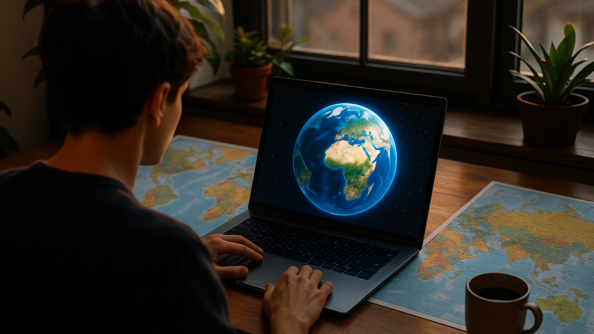
Table of Contents
Introduction
In an era where information is at our fingertips, Google Earth stands tall as one of the most innovative and enduring digital tools. Launched in 2005 and continuously evolving, Google Earth allows users to explore a 3D model of our planet—complete with satellite imagery, terrain data, and interactive features.
By 2025, Google Earth has become more than a globe-spinning novelty; it’s a powerful educational, environmental, and research tool used by millions globally.
What is Google Earth?
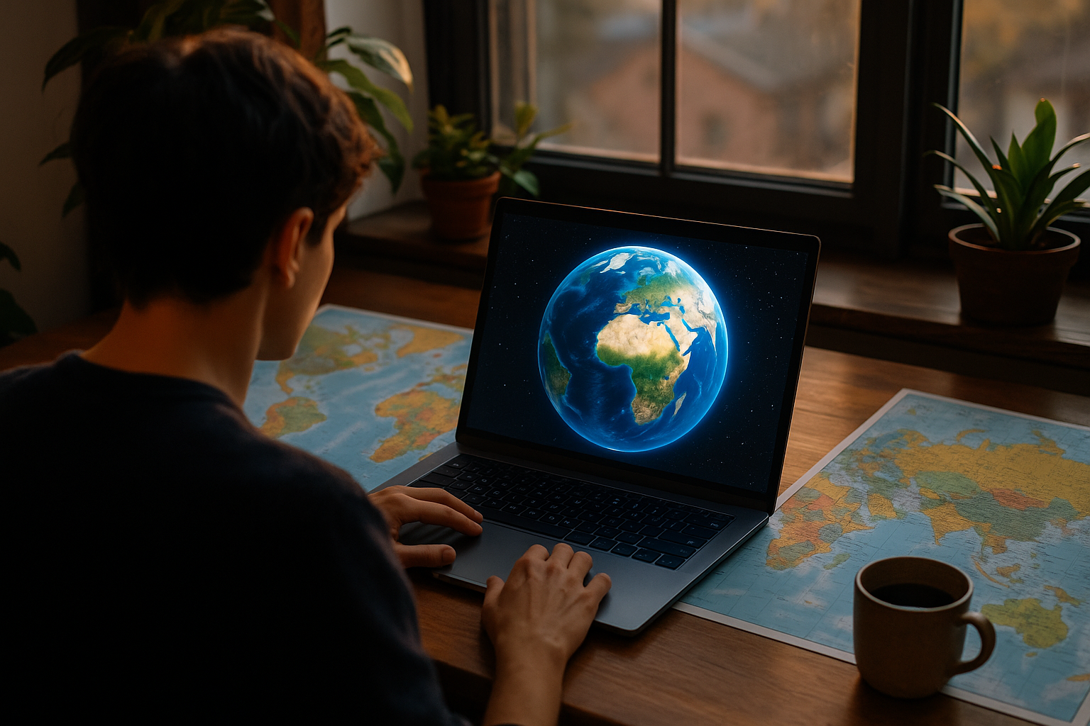
Google Earth is a geospatial software that renders a 3D representation of Earth based on satellite imagery. It allows users to fly to any location on Earth, view historical imagery, dive into underwater landscapes, and even explore the Moon and Mars.
Available as:
- Web: earth.google.com/web
- Pro: A downloadable desktop application with advanced features
- App: Available for Android and iOS
Key Features
- 3D Satellite Imagery: The core feature remains the ability to explore stunning 3D imagery of cities, mountains, oceans, and remote islands. Google has updated thousands of areas to reflect high-resolution terrain and real-time weather data overlays.
- Timelapse: Introduced as an environmental storytelling tool, Timelapse lets users visualize how landscapes have changed over the past 40 years. It’s a powerful feature used to analyze deforestation, urban expansion, and climate change.
- Voyager Stories: Voyager is Google Earth’s educational storytelling platform. It includes interactive journeys curated by scientists, nonprofits, and storytellers. Topics range from endangered species to human rights and space exploration.
- Measure Tool: The built-in ruler lets users measure distances between two points or calculate the area of land—useful for students, researchers, and urban planners.
- Project Creation: You can now create and share your own custom projects. Drop pins, write descriptions, add images or YouTube videos, and take viewers on a guided tour of your locations.
- Street View Integration: Thanks to Google’s Street View cars and user contributions, you can drop into street-level imagery across millions of global locations for immersive exploration.
Real-World Applications
- Education: Google Earth is widely used in classrooms to teach geography, environmental science, and history. Teachers can create interactive lessons while students use it for research and storytelling.
- Urban Planning & Architecture: City planners and architects use it to analyze topography, infrastructure, and development areas without leaving their desks.
- Travel & Tourism: Many travel bloggers and agencies use Google Earth to highlight destinations. Some even embed custom maps into itineraries or blog posts to give users a virtual preview.
- Environmental Monitoring: Organizations like NASA, WWF, and UN use Google Earth for environmental surveillance and policy planning, especially using the Timelapse feature.
Google Earth vs. Google Maps
While both platforms use similar data, Google Earth focuses on exploration, education, and storytelling, while Google Maps is more about navigation and real-time utility.
| Feature | Google Earth | Google Maps |
|---|---|---|
| Satellite Imagery | ✅ Yes | ✅ Yes |
| 3D Terrain | ✅ Yes | ❌ Limited |
| Street View | ✅ Yes | ✅ Yes |
| Route Navigation | ❌ No | ✅ Yes |
| Storytelling Projects | ✅ Yes | ❌ No |
How to Use
- Go to https://earth.google.com/web
- Search any place or drag the globe manually
- Click the Voyager icon to explore curated content
- Use the “Projects” icon to create your own tour
- Toggle 3D, Street View, and other layers from the left menu
Pro Tip: Download Google Earth Pro for offline use, import GIS data, and get advanced measurements.
The Future
As AI, machine learning, and big data become more prominent, Google Earth will likely integrate even more real-time data and predictive environmental models. Integration with AR/VR and AI-generated storytelling tools is already being tested in beta formats.
Expect features like:
- Predictive flooding and wildfire mapping
- Real-time air quality overlays
- AI-driven travel and education suggestions
- Multi-user collaborative globe storytelling
Final Thoughts
In 2025, Google Earth is more relevant than ever—whether you’re planning a virtual field trip, monitoring environmental change, or just exploring your dream destinations from your couch. With its continuous evolution, it serves as a bridge between data, discovery, and digital storytelling.
Start your journey today → earth.google.com/web
You May Also Like: How Adobe Photoshop 2025 Is Changing the Future of Design with AI


